What Is a KML File?

A KML file, short for Keyhole Markup Language file, is a type of file format commonly used to display geographic data in three-dimensional earth browsers like Google Earth and Google Maps. The format was originally created by Keyhole, a company later acquired by Google, and has since become an industry standard for sharing geospatial information.
At its core, a KML file is a text-based document that contains key elements, such as coordinates, images, and media, that all tend to describe a single point or area on the earth’s surface. The file can also incorporate data such as placemarks, polygons, and paths, which allows users to create detailed maps and visualizations of any location around the world.
KML files can be created using a variety of software tools specifically designed for this purpose, including Google Earth and its web-based version, Google Maps. To create a KML file, one must import data from multiple sources and merge them into a single file using a KML editor. These tools typically offer a wide range of features to customize the map appearance and functionality, allowing users to add photos, videos, and links to external resources for a richer user experience.
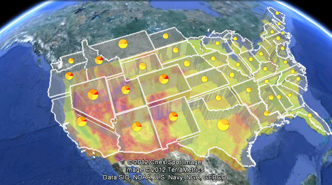
KML files can be displayed in a number of different ways, depending on the program being used. For example, Google Earth displays KML files as layered overlays on top of the earth, allowing users to zoom in and out or pan around to explore the data further. These features make it possible to visualize everything from historical landmarks and natural disasters to real-time traffic and weather patterns in a dynamic and interactive way.
KML files can be shared easily, making them an ideal tool for geospatial data exchange. For example, scientists studying climate change could use KML files to visualize changes in sea level, temperature, and precipitation over time. This information could then be shared with policymakers, urban planners, and other relevant stakeholders to help inform decisions about how to best mitigate the effects of climate change.
In summary, KML files are an essential tool for anyone interested in displaying geographic data in a user-friendly and engaging way. They allow developers to create custom maps and visualizations that can be easily shared and viewed by anyone with access to a standard web browser. With the rise of real-time mapping technologies, KML files are becoming increasingly important for tracking and analyzing the world around us.


